

MANILA, Philippines — State weather bureau PAGASA confirmed that Tropical Storm Hagupit officially entered the Philippine Area of Responsibility (PAR) at 6:00 PM on Saturday, May 9, 2026. Upon entry, the storm was assigned the local name “Caloy,” making it the third tropical cyclone to enter the country this year.
As of the latest advisory, the storm continues to move over the Philippine Sea, though environmental conditions suggest it may have a short-lived stay at its current intensity.
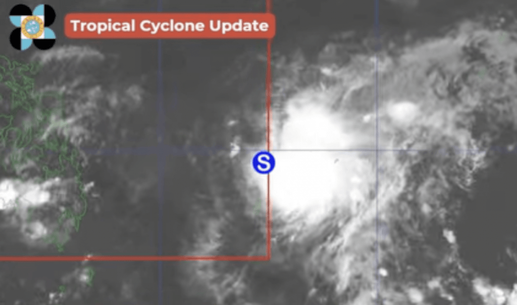
Current Storm Profile (As of 7:00 PM, May 9)
- Location: Last spotted approximately 1,100 km east of Southeastern Luzon.
- Maximum Sustained Winds: 85 kph near the center.
- Gustiness: Up to 105 kph.
- Movement: Westward at 15 kph.
While Caloy has maintained its strength upon entry, meteorologists expect a rapid shift in its status over the next few days:
- Peak Intensity: The storm is currently at or near its peak. There is a slight chance it could briefly reach Severe Tropical Storm category within the next 12 hours.
- Weakening Trend: Due to “unfavorable environmental conditions”—including dry air and vertical wind shear—Caloy is expected to begin weakening by Sunday, May 10.
- Downgrade Schedule:
- Monday, May 11: Likely to be downgraded to a Tropical Depression.
- Wednesday, May 13: Expected to dissipate into a Low Pressure Area (LPA) while still over the Philippine Sea.
Despite the projected weakening, the system will still influence regional weather:
- Rainfall: The outer rainbands may bring scattered rain showers and thunderstorms to the eastern sections of Southern Luzon and Visayas between Monday and Tuesday.
- Sea Conditions: Moderate to rough seas may be experienced over the eastern seaboard of the country. Small seacraft are advised to take precautions.
- Landfall: Current models show a low chance of landfall. The storm is forecast to recurve or “recoil” northeastward before reaching the Philippine landmass.
PAGASA emphasized that for the next 24 hours, the Easterlies remain the dominant weather system for the rest of the country. This will continue to bring high temperatures and dangerous heat indices—reaching up to 44°C in some areas—before the clouds from Caloy provide some minor relief to the eastern seaboards next week.
Residents are advised to continue monitoring official updates as the “weekend storm watch” continues.