
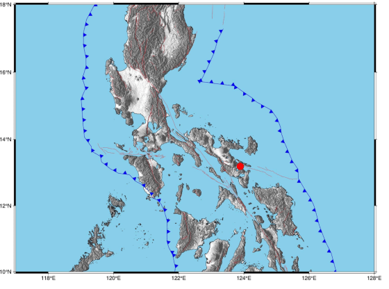

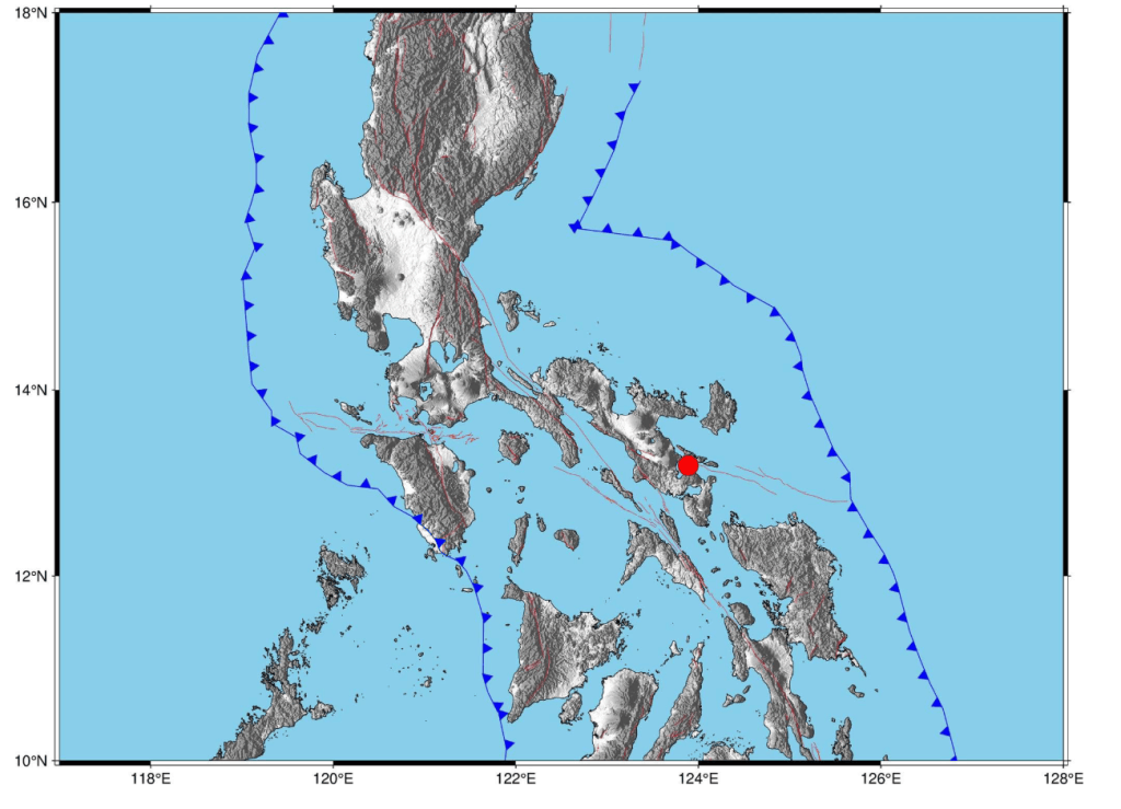
MANILA, Philippines — A moderate tectonic earthquake jolted the Bicol region late Friday evening, sending tremors across several provinces along the country’s eastern seaboard. According to the Philippine Institute of Volcanology and Seismology (PHIVOLCS), a magnitude 5.4 earthquake struck off the coast of Albay on Friday, June 5, 2026, at exactly 9:58 PM.
The state seismic agency reported that the quake occurred at a remarkably shallow depth, causing its vibrational footprint to spread efficiently across neighboring regional islands.
Initial logs from the Philippine Seismic Network pinpoint the precise geographic coordinates and depth profile of the late-night fracture:
                          [ THE ALBAY SEISMIC PROFILE ]
                                        │
         ┌──────────────────────────────┴──────────────────────────────┐
         ▼                                                             ▼
   [ GEOGRAPHIC CRADLE ]                                         [ HYPOCENTER DATA ]
 • **The Epicenter Location:** Traced roughly **13 kilometers east-** • **Shallow Velocity:** The rupture occurred at a shallow depth
   **southeast of the municipal town of Santo Domingo, Albay**.       of focus of just **10 kilometers**.
 • **Tectonic Mechanics:** The movement was entirely tectonic in  • **Force Metric:** Registered at a strong magnitude of 5.4,
   origin, indicating a sudden structural slip along an active local  radiating energy directly into the Bicol peninsula and across
   underwater fault line.                                          the San Bernardino Strait.
While the earthquake shook structures closer to the source, the energy dissipated into a light, widespread vibration across multiple neighboring administrative regions. PHIVOLCS captured these movements through its network of seismic sensors:
[ RECOGNIZED INSTRUMENTAL INTENSITIES ] │ ▼[ Bicol Peninsula Hubs ] ──► **Intensity I** recorded in Pili, Iriga City, Ragay, and Sipocot (Camarines Sur), as well as Mercedes (Camarines Norte) and Sorsogon City (Sorsogon). │ ▼[ Central Islands & Southern Tagalog ]► **Intensity I** felt across the island of Boac (Marinduque) and moving north into the coastal town of Gumaca (Quezon). │ ▼[ Eastern Visayas Boundary ] ──► Weaker **Intensity I** vibrations managed to cross maritime lines, registerng distinctly on monitors in San Roque (Northern Samar).
Local disaster risk reduction and management councils (LDRRMCs) across Albay immediately activated safety screening protocols to check on public infrastructure, coastal bridges, and residential communities close to the mountain flanks.
| Threat Mitigation Matrix | Expected Seismic Outlook | Public Safety Advice |
|---|---|---|
| Structural Damage Risk | PHIVOLCS bulletins explicitly note that minor structural damages are expected near the epicenter due to the shallow depth. | Municipal engineers advise residents to inspect home foundations, masonry walls, and water lines for hairline cracks before morning. |
| Aftershock Probabilities | Secondary micro-tremors are actively expected over the next 48 hours as the disturbed fault line settles back into place. | Families are reminded to keep emergency bags packed and maintain open interior paths in case evacuation is triggered. |
| Secondary Volcanic Links | The tremor struck in the general vicinity of Mayon Volcano, which remains under daily monitoring checks. | Authorities clarify that tectonic tremors are distinct from volcanic tremors, though mountain slopes are being scanned for rockfalls. |
PHIVOLCS reiterates that in the hours following a shallow magnitude 5.4 event, local populations must rely strictly on vetted state bulletins and avoid spreading unverified panic on social communication platforms. Disaster management agencies remind the public that the Philippines sits squarely along the volatile Pacific Ring of Fire, making regular seismic shifts a permanent characteristic of local geography. As emergency response teams complete their late-night structural sweeps across Santo Domingo and surrounding towns, provincial authorities are urging calm—reassuring the public that local emergency reserves and institutional safeguards are fully prepared to handle the fault line’s standard adjustment period.