
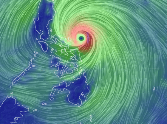
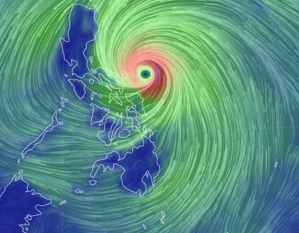
Typhoon Uwan (international name: Fung‑Wong) is rapidly intensifying as it approaches the Philippine archipelago, with landfall now possible early next week over northern or central Luzon. The storm is already showing signs of strengthening and may develop into a super typhoon.
Meteorologists warn of multiple threats as Uwan closes in:
- Sustained winds may reach up to 220 km/h, with gusts potentially higher, posing serious risk to structures and infrastructure.
- Very heavy rainfall is expected, especially over eastern Luzon, Bicol, and northern regions, raising the risk of floods, landslides, and coastal surge.
- The storm’s large wind field and fast advance mean that even areas not directly in the landfall path may experience strong winds, heavy rain, and rough seas.
Authorities are urging residents, particularly in the eastern seaboard and upland regions, to complete preparations immediately. They advise securing outdoor items, monitoring local advisories, avoiding unnecessary travel, and being ready to evacuate if instructed.